New Equal Earth Map
The United Nations General Assembly has voted to replace the world’s most widely used map with one that more accurately represents the true size of countries, following years of pressure from African nations who argued the old standard diminished the continent’s global standing.
The “Correct the Map” resolution, championed by African Union member states and the Bahamas, passed overwhelmingly on Friday, with 164 countries in favor, six abstentions, and only the United States opposed.
At the heart of the debate is the Mercator projection, a navigational map developed by Flemish cartographer Gerardus Mercator in 1569. While prized by sailors for preserving accurate compass bearings, the projection dramatically inflates the size of landmasses farther from the equator. The effect has long made Greenland look comparable in size to Africa, when in reality, Africa is roughly fourteen times larger.
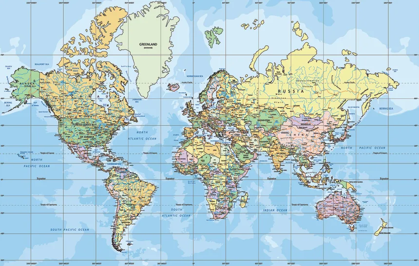
Supporters of the resolution argue this isn’t a neutral cartographic quirk but a legacy of Eurocentric bias that has shaped how the world perceives the economic and developmental significance of Africa, Latin America, and South Asia for generations.
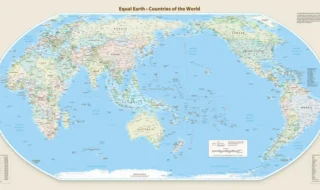
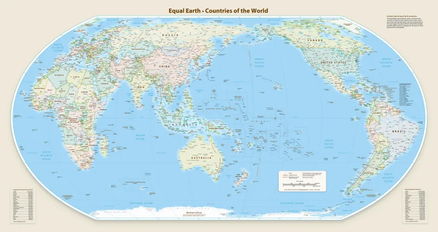
In its place, the UN is endorsing the Equal Earth projection, a map introduced in 2018 that preserves the relative surface area of every region. Under this model, Europe appears smaller, Brazil expands significantly, and Africa’s true scale becomes visually apparent.
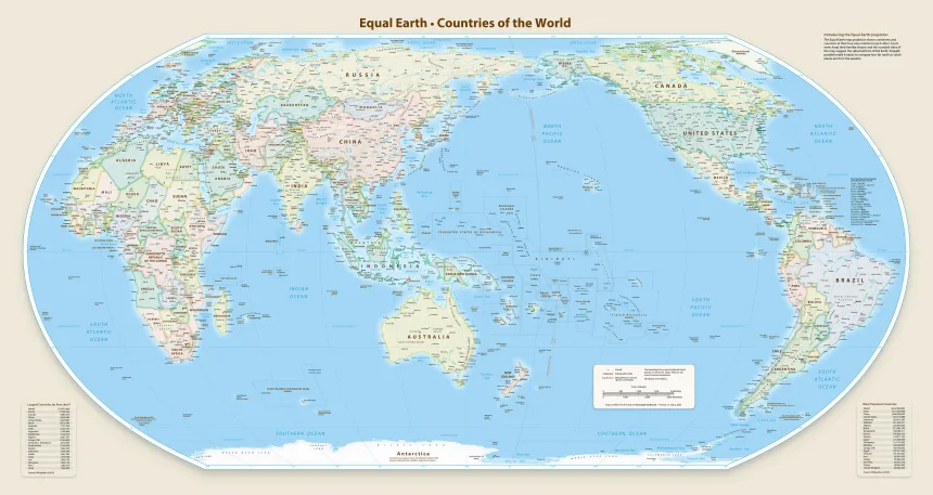
France was quick to embrace the shift. Foreign Affairs Minister Jean-Noël Barrot announced the country would abandon the Mercator projection, noting that map distortions inevitably shape public perception over time.
The push traces back to the African Union’s own adoption of the Equal Earth map earlier this year, followed by a formal request to the UN in April. New Zealand has also long criticized the Mercator projection for pushing the country to the map’s margins.
The resolution goes further than symbolism, calling on digital platforms like Google Maps, which still rely on Mercator-based projections, to engage with member states and transition to the more accurate model.
The vote marks one of the most significant shifts in global cartographic standards in decades.